A network of journalists in East Africa have launched Africa’s first geojournalism project focused on water. Through a platform called InfoNile, journalists are using data and mapping to better cover issues related to water resources along the Nile Basin.
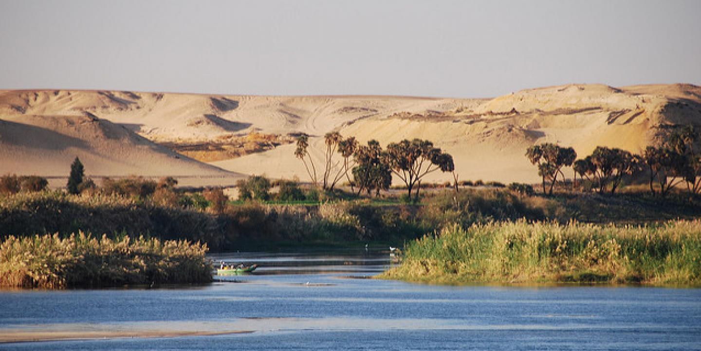
The Nile is Africa’s longest river, flowing for over 6,853 km (4,258 miles) across 11 countries, including Tanzania, Uganda, Rwanda, Burundi, the Democratic Republic of the Congo, Kenya, Ethiopia, Eritrea, South Sudan, Republic of the Sudan and Egypt. It is one of Africa’s most important water resources and the only source of fresh water for many of these countries. As water demand in the region soars, important transboundary issues around water access and availability are arising for the over 300 million people who rely on it. Media reports, however, remain largely fragmented and country-focused, sometimes worsening water conflict in the region.
Launched in 2017, InfoNile seeks to address these matters by mapping water stories in the Nile Basin to help the public better understand issues around water and the environment. The project uses a unique model, incorporating data, scientific maps, satellite imagery and drone footage for a more comprehensive look at events along the Nile Basin. It is spearheaded by Vision Group editor Fredrick Mugira of Uganda and Annika McGinnis, a freelance journalist formerly with Reuters, also based in Uganda. The platform partners with 31 news organizations and more than 100 environmental journalists through the Water Journalists Africa network to republish content from Basin countries to a wider audience.
The platform currently holds data sets and maps of the water basin, with local stories incorporated as layers onto the maps. The team has developed maps of oil and gas blocks, dams and wetlands in the Nile Basin, as well as a drought index map that measures the severity of drought in different areas. Each map is accompanied by multimedia stories that help broaden the audience’s understanding of the impact on the region’s population and economy.
The platform allows users to download the data and share all maps on their own websites using an embed code.
“Our goal is to have a user-friendly platform for policymakers, citizens and scientists to understand the broader scale of water issues in the Nile,” says McGinnis. “We also encourage citizen journalism, and users have the option to submit a story through the InfoNile website.”
To establish their model, the team partnered with various organizations including Code for Africa, Internews, Earth Journalism Network and IHE Delft Institute for Water Education to provide training and reporting grants to journalists working on the project. “We successfully introduced local journalists to the concept of combining data, maps and interactive online storytelling, which most of them had not done before,” says Mugira.
ICFJ Knight Fellow and Code for Africa data editor Jacopo Ottaviani works closely with InfoNile, providing data support to journalists in the network.
“The Code for Africa data wrangling team works with InfoNile journalists to create data visualizations for their stories,” says Ottaviani. “We are also involved in helping liberate more data on the Nile to make it open source and accessible to journalists and citizens at large.”
The Code for Africa data team is currently working on extracting data from PDF documents held by the Nile data initiative for use on the platform. The team hopes to use this data to develop more maps based on themes such as drought, floods and rainfall changes in the Nile Basin; biodiversity and endangered species; and the gap between population growth and water inadequacy in the region.
InfoNile has also received funding from its partner organizations, which has allowed them to give reporting grants to 17 journalists for the production of water-related stories. These include A Weed Grown Out of Control; highlighting the water hyacinth infestation of Ethiopia’s Lake Tana, a story on the shrinking Lake Tanganyika in Tanzania; a solutions journalism feature on a pond saving the Mara River from gold mining pollution; and a series of stories focusing on the 2018 cholera outbreak in Tanzania.
The team hopes to raise more funds to support journalism and project operations. “We have at least three journalists working in each of the 11 countries in the Nile Basin, except Eritrea,” says Mugira. “We also have a team of interpreters working to translate the stories into Swahili, Arabic and Amharic, to enable cross-publishing amongst our partners.”
The team credits several tools and resources in helping them build an efficient geojournalism platform, including the JEO WordPress theme, which allows users to visualize geo-coded datasets and literally “map” stories as layers onto maps.
“Our maps are created on MapBox or CartoDB and integrated into the WordPress site,” says McGinnis. “We use Shorthand for multimedia storytelling, which is a tool introduced to us by [Ottaviani]. Digital Globe is another useful tool which we use to find satellite imagery by putting in coordinates for a quick search. We also use Juxtapose, a tool developed by Knightlab to present images which show changes that have occured in the Nile Basin over time.”
A good example of how the team uses these tools is “Swamp City,” a multimedia story which shows how urbanization has destroyed one of Kampala’s most critical wetlands. Another transnational reporting project, “An Ancient River Divided,” further incorporates podcasts and documentaries for an in-depth exploration of conflict around the Nile.
“Our ultimate goal is to explore innovative journalism platforms and technologies and help build a data-savvy generation of African environmental journalists,” says Mugira.
Main image CC-licensed by Flickr via Michael Gwyther-Jones.

