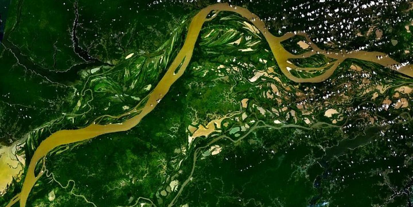
Journalists worldwide who want to improve their data-wrangling skills to better cover the environment have a new resource. The Geojournalism Handbook is a free, online guide to mapping and visualization technologies. It explains environmental data such as satellite imagery and even shows you how to build your own balloon to take aerial pictures.
To create the guide, which is part of my ICFJ Knight International Journalism Fellowship, we brought together a team of journalists and technologists with deep experience in the fields of mapping and environmental reporting to share their knowledge.
The online toolkit was created in partnership with ICFJ, Internews' Earth Journalism Network and the Flag It! Project. It will be a resource for Flag It! participants in Brazil, Nigeria, the Philippines and Romania. It is also part of the portfolio of the Environmental News Lab (Ecolab), a multidisciplinary team working to create useful applications for environmental coverage.
At launch, the Geojournalism Handbook offers 11 tutorials with different levels of difficulty. It leads you through the whole process of creating environmental stories with data, from obtaining the information you need through editing a feature story. The content includes topics such as data, crowdsourcing, mapping, design and visualization. Over the next couple of months, we expect to add video tutorials and additional topics. So far, it is available in English and Portuguese, but we hope to make it available in other languages as well.
Why Geojournalism?
About six years ago, as a reporter covering environmental policy, I was intrigued by the relationship between the pace of development in emerging countries such as Brazil and China and those countries' attitudes toward their national territories.
Promoting social and economic good often triggers large-scale changes to entire regions, due to interventions such as diverting rivers, building roads, and incentivizing settlements.
That was also a time when global attention to the issue of climate change reached a peak. Environmental reporters were looking not just at our own surrounding environment, but also at our global atmosphere, and how changes in the Amazon rainforest or the Arctic can shift the climate elsewhere in the world.
Observing such large-scale changes has traditionally been the work of geography. But today, the Internet and the digital tools associated with it are empowering many others, including journalists. A growing number of reporters, newsrooms and companies are now using digital mapping or accessing satellite imagery that show natural phenomena.
Geojournalism can be considered a branch of data journalism. This branch focuses more on the data generated by sensors and satellites. Geojournalism can also be a way of approaching a subject, applying geographical methods as an effective way to place large-scale issues in context.
They are powerful and innovative means for telling your environmental stories, and the Geojournalism Handbook will show you how.
Check out the Geojournalism Handbook here. Please let us know in the comments if you use the tutorials and the tools in your reporting.
Gustavo Faleiros is an environmental journalist and media trainer who specializes in data journalism. He is a Knight International Journalism Fellow based in Brazil. You can follow him on Twitter.
Global media innovation content related to the projects and partners of the ICFJ Knight International Journalism Fellows on IJNet is supported by the John S. and James L. Knight Foundation and edited by Jennifer Dorroh.
_Satellite image of Amazon River via Wikimedia Commons._

